Dear community!
First of all I've to say that I'm very new in the world of FME.
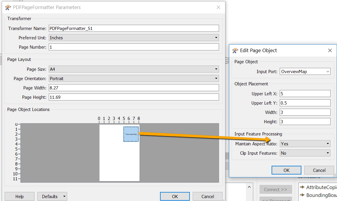
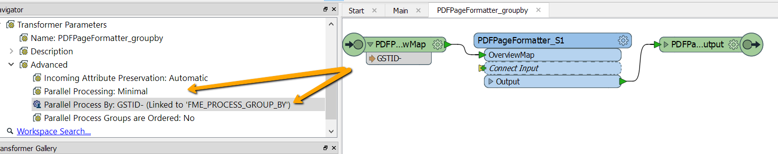
I have the following problem with the conversion from a simple 2D point feature to a non-spatial pdf. I'm familiar with the transformers (PDFStyler, PDFPageFormatter) and the Adobe Geospatial PDF File - Writer which I need for my pdf output. But I've no idea how to extract the information (Atttributes) of the points and write it in a table or list (in an ordered way) in a PDF. My problem is that the attributes are distributed spatially (according to their actual location in the map) across the PDF output after the LabelPointReplacer.
thx for your help